
To get a list of topographical maps that cover a particular area, drag the orange map icon to your point of interest then click the "Find Maps" button. You will be able to download your map on the next page. The 2025 NCKMS Symposium's map database currently contains 273,140 maps. The catalog was last updated on Friday, January 23, 2026.
![]() Bristlecone Convention Center
Bristlecone Convention Center
![]() Great Basin NP
Great Basin NP
The official event schedule for the 2025 NCKMS has now been updated. Please check our schedule page or download a PDF to your mobile device.
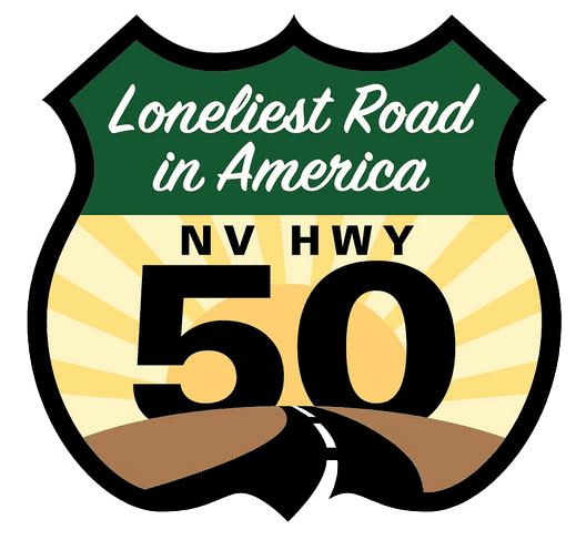
In July of 1986, Life magazine dubbed Nevada's Highway 50 the "Loneliest Road in America." The article claimed there were "no points of interest" along the route and "warned" readers not to risk traveling it unless they were confident of their survival skills. However, Nevada adventurers knew better then - and still do. Sure, a road doesn't get much more wide-open than Highway 50. But that's exactly why we dig it!

The Hydrographic Great Basin is a 200,000 square mile area of the American West that extends from the Sierra Nevada Range in California to the Wasatch Range in Utah, and from southern Oregon to southern Nevada. The entire basin contains what's called an endorheic watershed. All precipitation in this region evaporates, sinks underground, or flows into lakes. No water reaches the ocean.