An endorheic basin is defined as a region in which the river network is completely isolated from the world ocean: the water flowing in the rivers never reaches the sea. Overexploitation of these finite hyrdologic resources poses significant challenges for cave managers in the arid west. Graphic by Kmusser at Wikimedia Commons, CC BY-SA 3.0
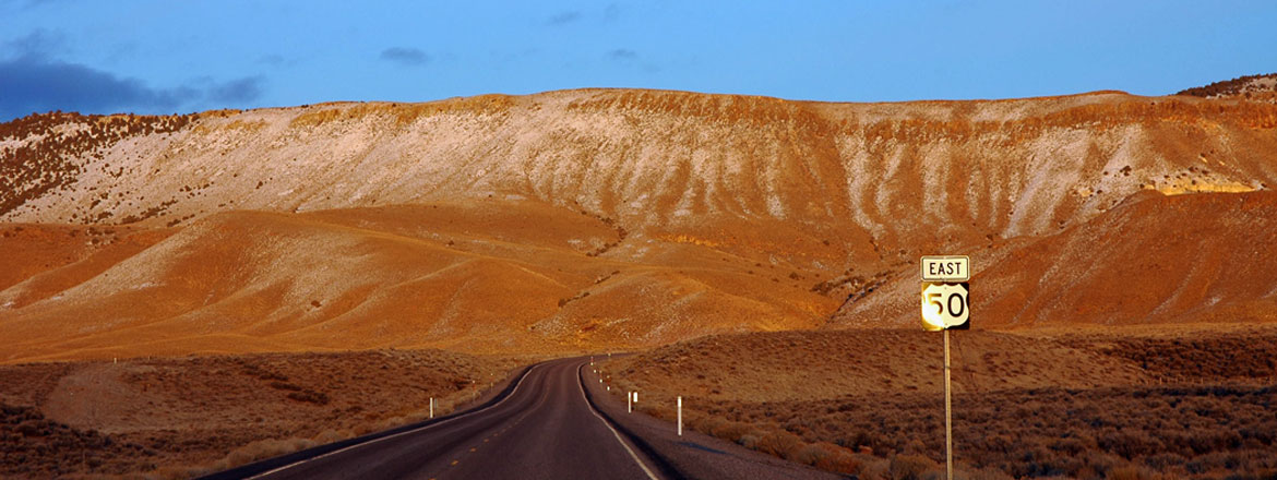
Read MoreThe Great Basin is characterized by numerous arid to semi-arid basins with unconsolidated alluvial aquifers separated by mountain ranges often comprised of carbonate aquifers. Population is concentrated within 100 miles of Salt Lake City and in the Las Vegas area and is growing rapidly. In the less populated areas, ranching, mining, and irrigated farming are the main economies.
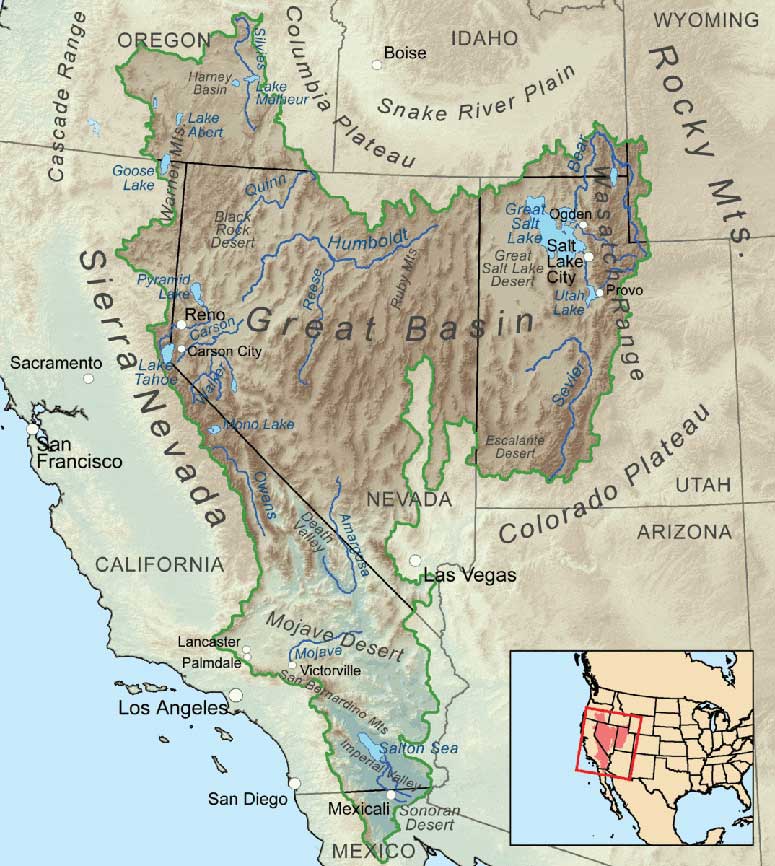
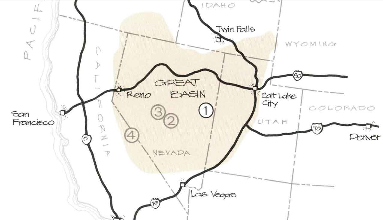
Defining the Great Basin begins with a choice: are you looking at the way the water flows (hydrographic), the way the landscape formed (geologic), or the resident plants and animals (biologic)? Each of these definitions will give you a slightly different geographic boundary of the Great Basin, but the hydrographic definition is the most commonly used.
The Hydrographic Great Basin is a 200,000 square mile area that drains internally. All precipitation in the region evaporates, sinks underground or flows into lakes (mostly saline). Creeks, streams, or rivers find no outlet to either the Gulf of Mexico or the Pacific Ocean. The region is bounded by the Wasatch Mountains to the east, the Sierra Nevada to the west, and the Snake River Plain to the north. The south rim is less distinct. The Great Basin includes most of Nevada, half of Utah, and sections of Idaho, Wyoming, Oregon, and California. The term "Great Basin" is slightly misleading; the region is actually made up of many small basins. The Great Salt Lake, Pyramid Lake, and the Humboldt Sink are a few of the "drains" in the Great Basin.
The Basin and Range region is the product of geological forces stretching the earth's crust, creating many north-south trending mountain ranges. These ranges are separated by flat valleys or basins. These hundreds of ranges make Nevada the most mountainous state in the country.
The Great Basin Desert is defined by plant and animal communities. The climate is affected by the rain shadow of the Sierra Nevada and Cascade Mountains. It is a temperate desert with hot, dry summers and snowy winters. The valleys are dominated by sagebrush and shadescale. The biologic communities on the mountain ranges differ with elevation, and the individual ranges act as islands isolated by seas of desert vegetation. Because the Great Basin exhibits such drastic elevation changes from its valleys to its peaks, the region supports an impressive diversity of species, from those adapted to the desert to those adapted to forest and alpine environments.
Great Basin National Park preserves a small representative piece of this entire region.
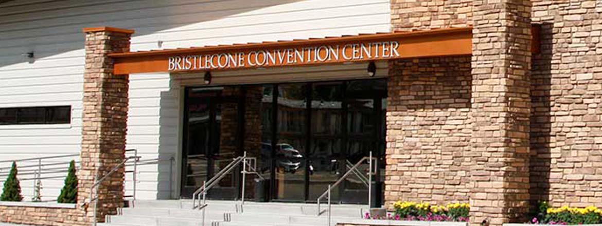
The official event schedule for the 2025 NCKMS has now been updated. Please check our schedule page or download a PDF to your mobile device.

Southwest Geophysical Consulting provides geophysical consulting to industry, ranchers, homeowners and government in karst and pseudo-karst areas of New Mexico and surrounding states,
![]() Mostly clear, with a low around 10. Wind chill values as low as 0. South wind 5 to 10 mph.
Mostly clear, with a low around 10. Wind chill values as low as 0. South wind 5 to 10 mph.
![]() Partly sunny. High near 45, with temperatures falling to around 37 in the afternoon. Wind chill values as low as -2. South southwest wind 5 to 10 mph.
Partly sunny. High near 45, with temperatures falling to around 37 in the afternoon. Wind chill values as low as -2. South southwest wind 5 to 10 mph.
![]() Partly cloudy, with a low around 13. South wind 5 to 10 mph.
Partly cloudy, with a low around 13. South wind 5 to 10 mph.
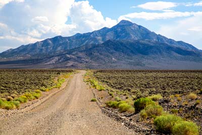
Nevada is the most mountainous state in the country, with over 300 individual mountain ranges and 42 named summits over 11,000 feet!
2025 NCKMS T-Shirts
Of course we'll have t-shirts! What would a caver event be without them?
It might look like this thing that an AI system suggested, but we're having real humans dress it up a bit. Might look completely different by the time our humans are done with it.
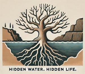
Our theme at NCKMS this year is "Hidden Waters - Hidden Life". So, we have a concept at least!